- Airborne imaging spectrometry and instrument
- Airborne super-spectral technique and instrument
- Laser scanning ranging imaging technique and instrument
- Aerial remote sensing image processing technique
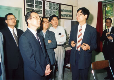
Wen Jiabao inspected ARERIAL REMOTE SENSING laboratory
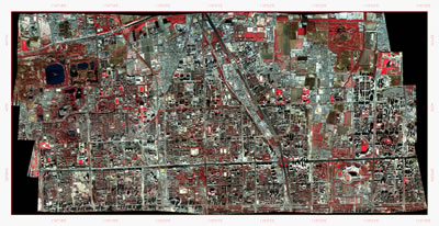
The remote sensing image of Zhongguancun area in Beijing obtained with the airborne Operative Modular Imaging Spectrometer (OMIS) in November 2000
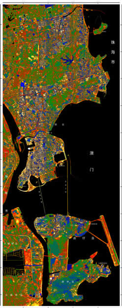
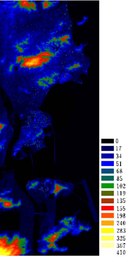
Images of the territory of Macao
|